The variety of tasks to be solved
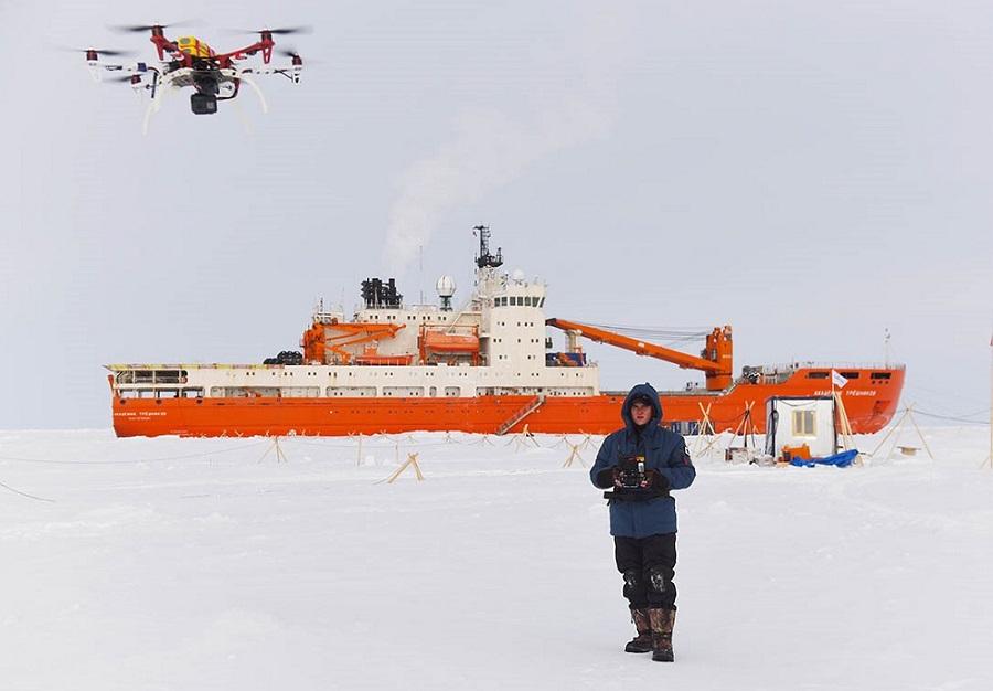
Recently, interest in the Arctic has been increasing not only among the Arctic countries, but also from international organizations and countries that do not have territories beyond the Arctic circle within their borders. We have to solve many different tasks with the help of various modifications of basic unmanned aerial vehicles (UAVs).
Unmanned aviation is one of the most dynamically developing areas in aviation today. The explosive growth of the UAV market and related services is predicted when a number of technical and administrative barriers limiting the use of UAVs in national airspace are overcome in the near future.
Directly to the tasks that can be solved at high latitudes with the help of UAVs include: search and detection of sea vessels, control of sea borders and fishing rules, geological exploration and monitoring of the ice situation, search and aerial photography of shoals of fish and marine animals, hydrometeorological control, protection of facilities, cargo delivery, etc.
It is believed that in areas such as remote sensing of the Earth, control of communications and borders, the use of UAVs will reduce the cost of services by an order of magnitude and even more compared to traditional space or aviation systems.
The difficulties of using drones
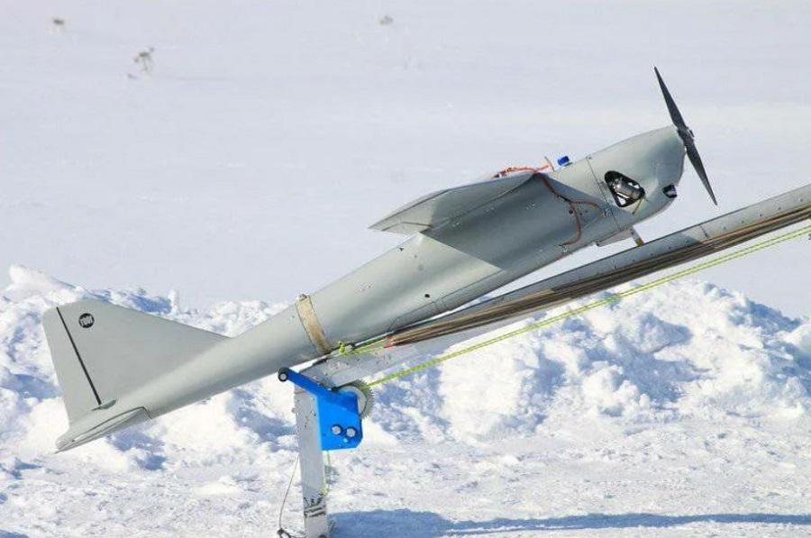
The main classification features are: purpose (multipurpose and targeted: reconnaissance, observation, transport; frequency of use (reusable, disposable); method of launch and return; scope of application; take-off weight; type of UAV (airplane or helicopter scheme, hybrid, etc.).
The use of UAVs at high latitudes has a number of difficulties, which include:
· Lack of ground infrastructure;
· difficult weather conditions;
· effects of external radio interference;
· Special requirements for technical specifications.
Special requirements are put forward for weight and dimensions, temperature conditions, autonomous operation, minimum energy consumption and other characteristics.
At high latitudes, environmental conditions are difficult for the operation of UAVs due to passive and active interference, and therefore their navigation equipment and control systems must ensure high accuracy of movement, effective maneuvering, etc.
Aerial photography equipment
Modern television cameras provide the operator with a real-time picture of the observed area in the format closest to the characteristics of human vision, which allows him to freely navigate the terrain and pilot the UAV. The use of thermal imaging cameras makes it possible to ensure the daily use of drones.
The most promising is the use of combined tele-thermal imaging systems. At the same time, the operator is presented with a synthesized image containing the most informative parts inherent in the visible and infrared wavelength ranges, which significantly improves the tactical and technical characteristics of the surveillance system.
The use of a radar station allows you to receive information around the clock and in unfavorable weather conditions, when other channels do not provide information. Depending on the class of the UAV, the payload can be supplemented with various types of radar, environmental, radiation and chemical monitoring sensors.
Difficulties of navigation in the polar regions
The UAV control complex is a complex, multi–level structure, the main task of which is to ensure the withdrawal of the UAV to a given area and the execution of operations in accordance with the flight task, as well as to ensure the delivery of the information received to the control point.
The conditions of air navigation at high latitudes are characterized by a number of features:
1) The terrain is monotonous, with a small number of landmarks and ground-based radio navigation aids.
2) The meteorological situation is unstable, low temperatures prevail, fogs and winds with blizzard are characteristic.
3) The Arctic region has long periods of polar day, twilight and polar night.
4) The propagation of radio waves, especially short ones, is unstable and there is interference from radio equipment.
5) There are features of the position caused by the large angles of convergence of the meridians and the rapid change in longitude during the flight of the device.
Issues are gradually being resolved with the development of a legal legal framework that allows the use of UAVs in a variety of fields of activity. The development of unmanned aerial vehicles is an important task for our country and a promising direction.
Mitko A.V. Is published in an abridgment
Source: Mitko A.V. UAVs in the Arctic region. 2019. Neftegaz.RU

